Bronx Waterfront Greenway Project Moves Forward With Public Input on Proposed 15-Mile Route
New York City begins community engagement for a proposed waterfront corridor linking Randall's Island with Throggs Neck.

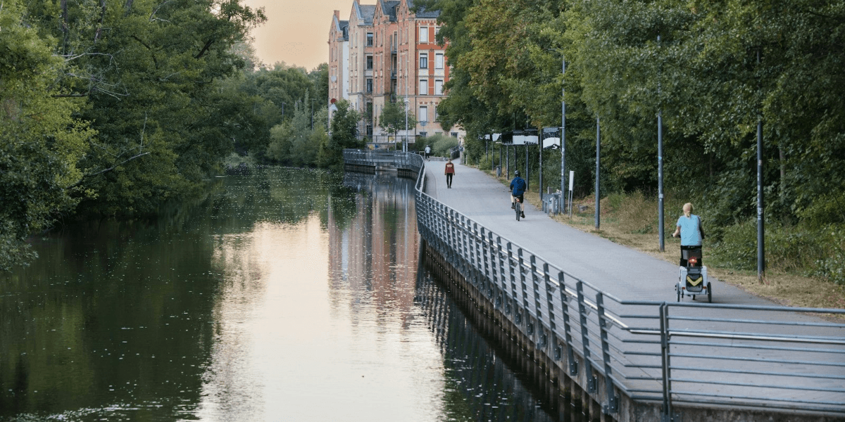
New York City officials have begun seeking public input on a proposed 15-mile waterfront greenway that would connect Randall's Island with SUNY Maritime College in Throggs Neck, creating a potential continuous route through several southern Bronx neighborhoods.
The initiative brings attention to a long-term effort to improve pedestrian and bicycle connections along the borough's waterfront, where highways, industrial properties, and private developments have interrupted access between parks and residential communities.
The New York City Department of Transportation, NYC Parks, and the New York City Economic Development Corporation are coordinating the planning process.
The proposal would connect communities including Hunts Point, Soundview, and Throggs Neck while improving access to waterfront parks and employment areas.
A public workshop scheduled in Hunts Point provides residents with an opportunity to identify local concerns and contribute ideas before the implementation plan is finalized.
A Proposed Route Along the Bronx Waterfront
The Bronx Waterfront Greenway is intended to establish a more continuous network for pedestrians and cyclists.
The proposed corridor would extend eastward from Randall's Island toward SUNY Maritime College in Throggs Neck.
Along the way, it would connect neighborhoods and waterfront destinations that currently have limited or disconnected walking and cycling routes.
The proposal is particularly relevant to residents in parts of the East Bronx, where access to the shoreline can be interrupted by major roads, industrial properties, and privately controlled land.
The project aims to create safer opportunities for residents to travel between neighborhoods, reach public spaces, and access waterfront areas.
It also forms part of a wider city effort to expand recreational and transportation opportunities across the outer boroughs.
Why Waterfront Connectivity Matters
Waterfront areas provide opportunities for recreation, transportation, and public access to natural surroundings.
However, the presence of highways and industrial development can make some waterfront locations difficult to reach.
In parts of the Bronx, disconnected pathways mean residents may need to travel through neighborhood streets to move between sections of existing greenway infrastructure.
A more continuous route could improve access to parks and create additional options for walking and cycling.
The proposed corridor also has potential connections to employment centers, particularly industrial areas in Hunts Point.
That relationship is important because greenway planning can serve both recreational and practical transportation purposes.
Residents who travel to nearby workplaces, parks, and community facilities may benefit from improved pedestrian and bicycle connections.
Building on the City's Greater Greenways Plan
The Bronx proposal builds on New York City's Greater Greenways plan, released in 2025.
That broader planning document identified gaps in the city's existing greenway network and established a long-term vision for connecting parks, waterfront areas, and residential neighborhoods.
According to information from the city's Department of Transportation, New York has 15 designated greenway systems covering approximately 594 lane miles.
Six of those systems are located in the Bronx.
They include the Bronx Waterfront, Bronx River, Hutchinson River, and Mosholu-Pelham greenways.
The existing Bronx Waterfront Greenway system contains approximately 25 lane miles, but several sections remain disconnected.
The proposed 15-mile corridor is intended to address some of those gaps by improving connections between neighborhoods and waterfront destinations.
Existing Improvements Provide a Foundation
Some improvements connected to the wider waterfront network have already been completed.
The O'Brien Avenue Bike Boulevard, located between Leland and Stephens avenues, helped close a connection gap between Soundview Park and Pugsley Creek Park.
Another improvement involved the reconstruction of Monsignor Raul Del Valle Square in Hunts Point.
The $12 million project included pedestrian safety upgrades, improvements to public space, and a bicycle connection serving the waterfront greenway.
These developments demonstrate how smaller infrastructure projects can contribute to a larger transportation network.
However, the proposed 15-mile corridor remains in the planning stage.
The city has not finalized the exact route, construction timetable, or streets that could be affected.
The distinction is important because the public engagement process is intended to help establish priorities before detailed implementation decisions are made.
Residents Invited to Shape the Planning Process
The first public workshop was scheduled for November 4 at the BankNote Building in Hunts Point, running from 6 p.m. to 8 p.m.
A second workshop was scheduled to take place virtually on December 3.
The city is seeking feedback about areas where additional connections are needed, existing safety concerns, and opportunities to improve waterfront access.
Potential improvements could range from relatively small changes, such as new signs and roadway markings, to larger construction projects requiring additional funding.
The involvement of residents is particularly important because local communities are familiar with the conditions affecting their daily travel.
Feedback can help identify areas where existing routes are difficult to navigate, where pedestrian safety needs attention, and where connections between parks and neighborhoods are missing.
Department of Transportation Commissioner Mike Flynn said the city wanted residents to have an opportunity to influence the project before plans were finalized.
Council Member Amanda Farías, whose district includes Soundview, also highlighted the potential value of connecting waterfront communities with parks and employment areas.
Federal Funding Supports Planning
The Bronx Waterfront Greenway is one of six corridors supported by a $7.25 million federal grant awarded to New York City in 2022.
The funding supports implementation planning rather than financing the complete construction of every proposed greenway.
The city expects to complete implementation plans for all six corridors by 2028.
Construction of individual improvements will depend on additional funding.
This arrangement means that the current planning process represents an important preliminary stage rather than a commitment to immediate construction of the entire route.
Future implementation will require decisions about engineering, property access, infrastructure requirements, construction priorities, and available resources.
A Broader Investment in Public Access
The proposed greenway reflects a wider approach to urban infrastructure that connects transportation planning with recreational access and neighborhood development.
For the Bronx, improved waterfront connections could help residents reach parks, employment areas, and public spaces that are currently difficult to access from surrounding neighborhoods.
The project also highlights the importance of coordinating infrastructure across different communities rather than developing isolated pathways.
A connected network can provide greater value than separate segments that do not offer convenient routes between destinations.
However, its eventual effectiveness will depend on the final design, construction funding, safety provisions, and the quality of connections between existing facilities.
Planning the Bronx's Waterfront Future
The November public engagement process represents an important step in advancing the Bronx Waterfront Greenway proposal.
Although the full route has not yet been finalized, the project establishes a framework for improving access along a substantial portion of the borough's shoreline.
The involvement of local residents, city agencies, and community representatives will help shape the priorities considered during implementation planning.
For New York City, the proposal is part of a larger effort to make waterfront areas more accessible while strengthening connections between neighborhoods, parks, and employment destinations.
The project's next stages will determine how much of that vision can be translated into practical infrastructure improvements across the Bronx.

New York Daily Contributor
August Brennan
Covers the five boroughs — City Hall, the agencies and the neighbourhoods they answer to.
This article features partner, contributor, or branded content from a third party. Members of the New York Daily editorial staff were not involved in the creation of this content. All views and opinions are those of the contributor alone.
More From New York Daily