Brooklyn Bus Lane Project Begins as New York City Targets Faster Commutes and Safer Streets
New bus lanes and street redesigns aim to improve reliability for 35,000 daily riders along two busy Brooklyn corridors.

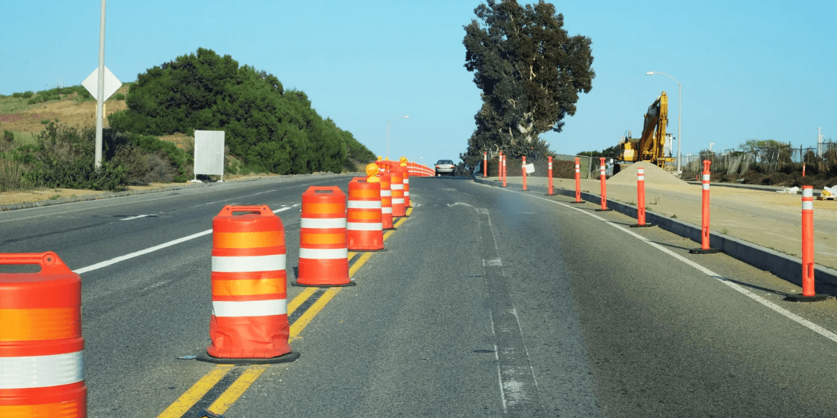
New York City has begun work on a street redesign along Brooklyn’s Bay Parkway and Cropsey Avenue, launching an infrastructure project intended to improve bus speeds, reduce delays and make streets safer for pedestrians. Announced by Mayor Zohran Mamdani and the city’s Department of Transportation, the initiative focuses on two corridors used by thousands of commuters and residents traveling through southern Brooklyn.
The project includes dedicated bus lanes, pedestrian improvements, new turning arrangements and changes to curb access. City officials say the measures are designed to improve daily travel for approximately 35,000 bus riders along the project corridor, while addressing streets identified as priorities for traffic safety.
The announcement represents part of a wider city effort to make public transportation more dependable. For neighborhoods where buses connect residents to subway stations, workplaces, schools and commercial areas, slow service can affect not only commuting times but also access to essential services.
Redesign Focuses on Two Major Brooklyn Corridors
The planned improvements cover Bay Parkway from Avenue J to Shore Parkway and Cropsey Avenue from Bay Parkway to 26th Avenue. The corridors serve routes including the B6 and B82, two of Brooklyn’s busiest bus routes, as well as the X28 and X38.
The B6 and B82 are particularly important to the project because they carry substantial passenger volumes through residential and commercial areas. When buses encounter congestion, passengers can face longer journeys and less predictable arrival times, making it harder to plan transfers and reach destinations on schedule.
According to the city, bus speeds on Bay Parkway can fall as low as three miles per hour. That figure illustrates the challenge facing transit planners: even when a bus route covers a relatively short distance, congestion and competition for road space can substantially slow service.
The redesign will introduce offset bus lanes wherever possible, placing the dedicated lane away from the curb, and curbside bus lanes where street space must accommodate dedicated left-turn lanes. These arrangements are intended to give buses more consistent access to roadway space rather than leaving them caught behind general traffic.
The project is part of a broader partnership involving the city, Governor Kathy Hochul and the Metropolitan Transportation Authority to improve bus service across 175 routes, representing nearly three-quarters of the city’s bus network.
Safety Improvements Extend Beyond Public Transportation
The work is not limited to improving bus movement. Bay Parkway and Cropsey Avenue have been identified as Vision Zero priority corridors because of their record of pedestrian injuries and other traffic risks.
City figures indicate that four people were killed in traffic crashes along the two streets between 2021 and 2025, including two fatalities in the final year of that period. Another 26 people sustained serious injuries.
The redesign includes 18 new median islands, upgraded pedestrian ramps, painted median extensions and painted curb extensions at selected intersections. These features are intended to make crossings more manageable, improve visibility and help separate pedestrians from moving traffic.
Median islands can provide pedestrians with a place to pause when crossing wider streets, while curb extensions can shorten crossing distances and make people more visible to drivers. Upgraded ramps are also important for people using wheelchairs, mobility aids or strollers.
The city will add dedicated left-turn lanes at 14 intersections where turning demand is high. At most other intersections along Bay Parkway, left turns will be restricted to address a common source of collisions involving pedestrians and cyclists.
The Department of Transportation has cited research associating dedicated left-turn lanes with a 15% decrease in pedestrian and cyclist injuries involving left turns. It has also reported that left-turn restrictions are associated with a 40% decrease in pedestrian and bicycle injuries. Those figures provide a basis for the city’s approach, although actual results will depend on how the changes operate once implemented.
Managing Parking, Deliveries and Local Traffic
Street redesigns can create competing demands, particularly in neighborhoods where businesses depend on convenient access for customers, deliveries and service vehicles.
To accommodate those needs, the project will update curb regulations and parking arrangements. Planned changes include retiming existing parking meters, adding metered spaces around the corner from busy blocks, and creating neighborhood loading zones and truck loading zones for pickups, drop-offs and deliveries.
The approach reflects the practical challenge of reorganizing limited street space. Dedicated bus lanes require clearer separation between buses and other vehicles, while commercial streets still need places for deliveries and passenger access. The final balance will influence how residents, drivers, businesses and transit riders experience the redesign.
The use of both offset and curbside lanes also reflects those constraints. Where a dedicated turning lane is needed, moving the bus lane to the curb may help preserve space for vehicles turning across traffic. Elsewhere, an offset lane can keep buses away from parked vehicles and some curbside activity.
Part of a Citywide Push for Better Bus Service
The Brooklyn project fits into a larger program of bus improvements advancing across New York City. Other corridors targeted for work include Fordham Road, 161st Street and Tremont Avenue in the Bronx; 34th Street, 116th Street, Madison Avenue and Lexington Avenue in Manhattan; and several routes in Queens and Staten Island.
The broader initiative aims to improve reliability for people who depend on buses for daily transportation. Bus service is especially important for residents whose journeys require connections between neighborhoods, subway lines and destinations that are not easily reached by rail.
The Brooklyn work will ultimately be judged by its effect on actual travel conditions. Faster bus speeds, fewer delays and safer crossings are measurable goals, but implementation details, driver compliance and how traffic adjusts to new lane arrangements will shape the results.
For residents along Bay Parkway and Cropsey Avenue, the project brings transportation policy directly into neighborhood streets. Its significance extends beyond paint and lane markings: the redesign tests whether targeted changes to road space can make public transportation more dependable while reducing risks for people walking, cycling and driving.
As work moves forward, the central question will be whether the new layout delivers the promised improvements without creating avoidable problems for local access. The project offers New York City an opportunity to assess how transit priority and pedestrian safety measures can work together in busy residential corridors.

New York Daily Contributor
August Brennan
Covers the five boroughs — City Hall, the agencies and the neighbourhoods they answer to.
This article features partner, contributor, or branded content from a third party. Members of the New York Daily editorial staff were not involved in the creation of this content. All views and opinions are those of the contributor alone.
More From New York Daily